The bathymetric exploration of the seabed started in 2018 and carried out by the Italian Navy and the Faculty of Mathematical, Physical and Natural Sciences has recently concluded. Scholars and researchers will now have data and images at their disposal to better safeguard our lake ecosystem.
It took almost one hundred days to explore, record, photograph and collect materials from all over Lake Garda. Over 1465 miles travelled far and wide, covering an area of 371 square kilometres, from Riva del Garda to the Gulf of Peschiera. Now the largest lake in Italy has a bathymetry of its seabed - unprecedented for the quality and detail of the images - which will provide greater navigation safety and address the problems related to climate change and greater protection of this lake ecosystem.
This is the result of the collaboration agreement between the Hydrographic Institute of the Italian Navy and Università Cattolica del Sacro Cuore - Faculty of Mathematical, Physical and Natural Sciences within the project “Accurate Climate Change Unified Risk Assessment for Territory and Environment in sub-alpine lakes (ACCURATE)” for the study and scientific research of subalpine lakes.
During the campaign that started in 2018 and ended in the last few days, a model-numerical analysis of the morphology of the seabed was developed and the bathymetric database of the Hydrographic Institute of the Italian Navy was updated. Some of these details will also be used to reconstruct accurately the geological history of Lake Garda's formation; this can be evident in the images, for example, the fault between Sirmione and Punta San Vigilio. An initial study has already been carried out in order to understand where the water from the Adige-Garda spillway flows, as happened in March of this year.
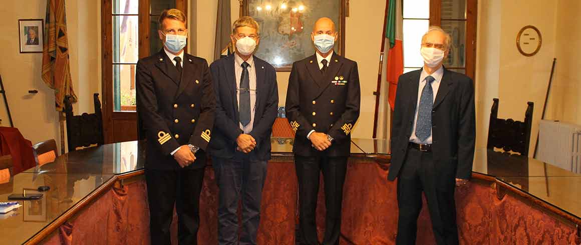
Before leaving Lake Garda, the mission, led by Sub-Lieutenant Roberto Aleo, was joined by Rear Admiral Massimiliano Nannini, in charge of the Hydrographic Institute of Genoa since a few months, who met in Lazise the Dean Professor Maurizio Paolini and Professor Alfredo Marzocchi.
«A successful collaboration that now leaves room for new study and research perspectives. This precise photograph, thanks to the instrumentation provided by the Marina and never taken on a lake, will be made available to the communities that populate this area and will be the starting point for new investigations to prevent or stem natural disasters, but also to develop aspects related to the economic and tourism sector» - Nannini said, when praising the hydrographic team. A point of arrival, then, but also a starting point for new collaborations that «we will soon be defining» - announced Professor Paolini - who is already considering the possibility of employing doctoral students and researchers skilled with algorithms and data structures.
«This data will make it possible to carry out an accurate simulation of the movement of the waters of the Lake Garda basin, influenced by the medium/high mountains or moraines that surround it, by the temperature, pressure and humidity of the air. The thermal inertia of the water is responsible for mitigation factors that allow living species to survive in an otherwise hostile environment (think of olive tree cultivation). Water temperature can become crucial in case of adverse events such as algae proliferation or pollutant dispersion. For this reason, it is important to know the motion of the water, which is one of the fundamental motors for the influence of the climate and its changes» - Paolini said.